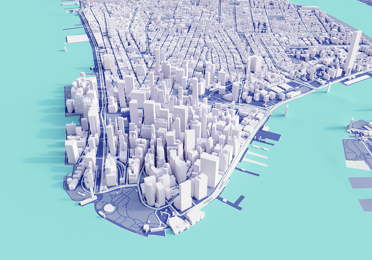
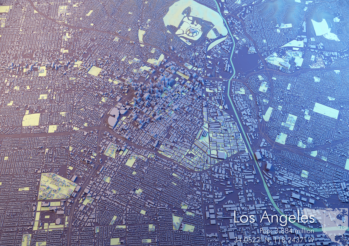
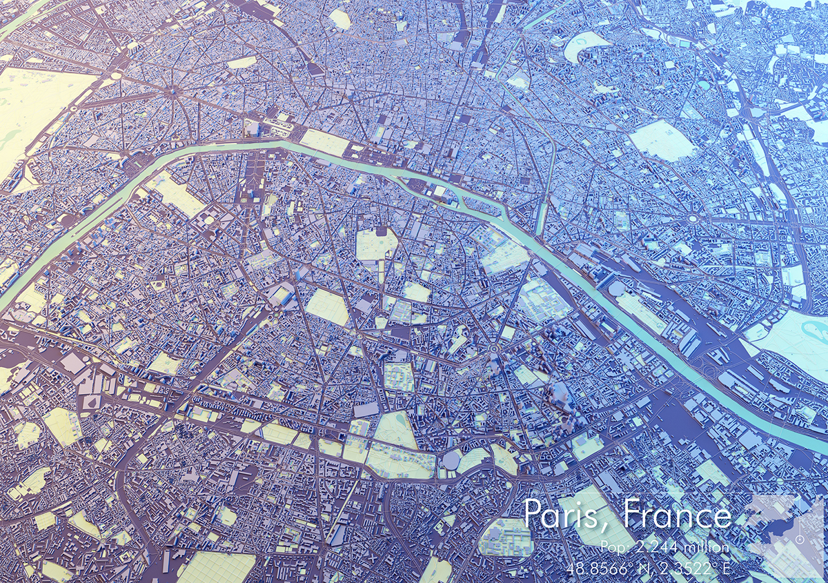
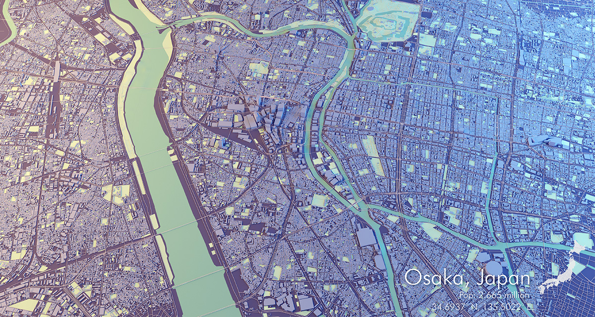
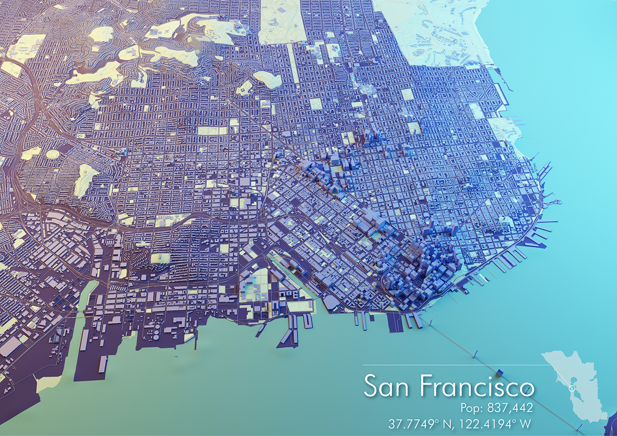
I never tend to use a lot of colour in cartography which was made quite apparent when one of my friends told me some of my latest projects were boring! I suppose I usually opt for more muted tones in my day to day mapping for clients and that tends to leak into some of my personal projects.
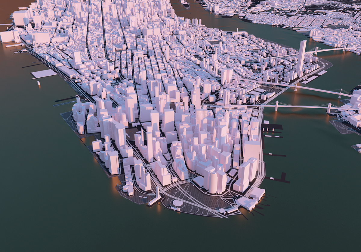
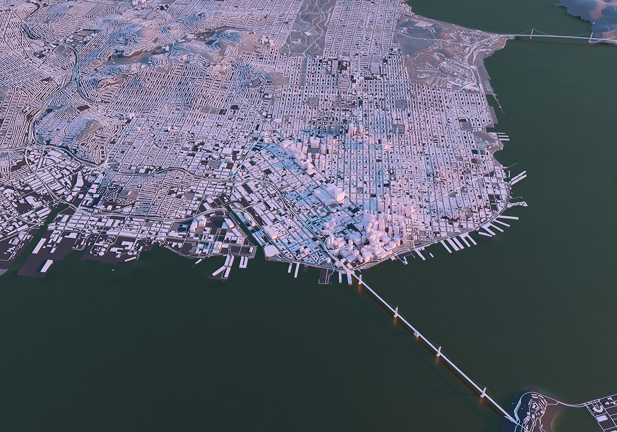
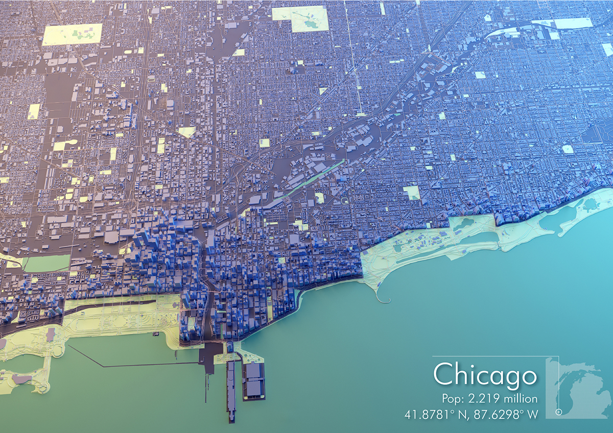
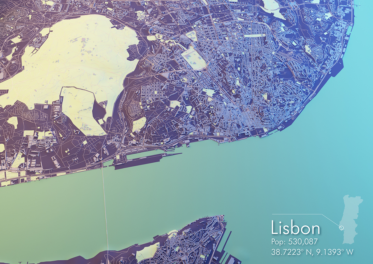
But sometimes straying away from normal mapping conventions is just what is needed! The below maps were all made in Cinema 4d and rely on OpenStreetMap datasets - specifically the built form and road networks. Unfortunately OSM built form for some of the below maps isn't complete which is a shame, and I only targeted cities where the OSM user base has contributed heavily.
The terrain is derived from 90m SRTM datasets and subdivided to get a smooth interpolation, parks and water features are textures applied through alpha channels, which gives a bit more flexibility in colour. These are also some of the first renders I have completed which don't rely on HDRI and instead a two toned softbox approach with cooler and warmer lights contrasting on each side. Road networks are also derived from OSM and sit flush with the terrain using DEM Earths awesome Geomodifier, although this can also be done by projecting the vertices to the surface. Sweep nurbs were also used to create the road geometry, which works quite well.
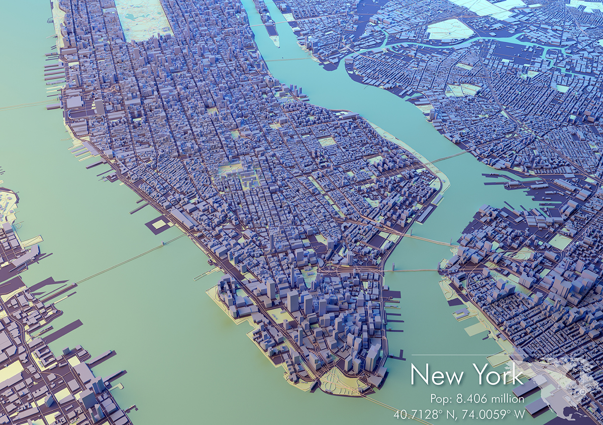
**Update, the below two images are some continued experiments importing OSM into C4d and Blender to try and represent their true to life form more accurately, rather than just extruded blocks. Still need to iron out some height issues with randomly appearing skyscrapers however! **